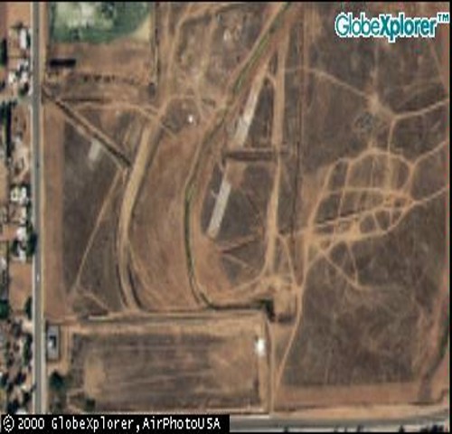
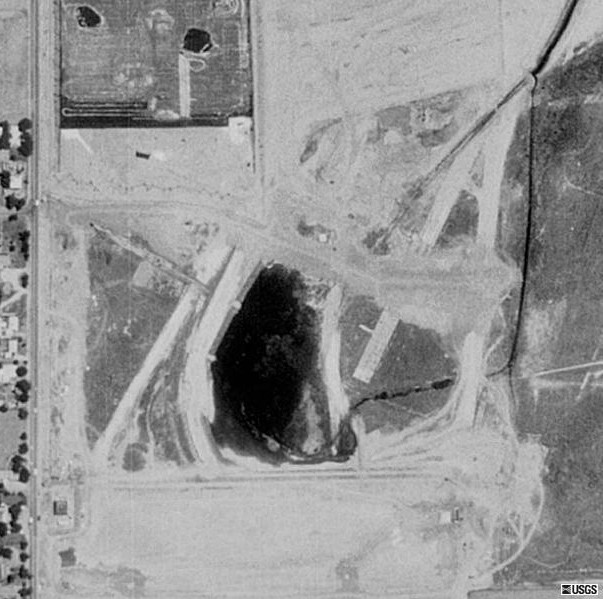
| (The late) Bob Norton sent me
this aerial photo of Riverside's "Turn 9" area. It's from "Microsoft
Terraserver".
"You can make out the kink in the straight,
and most of turn 9. The pit paving also shows up well. By the
way, the "Entry Planter" that you didn't understand is the west entrance
to the track, shown as Eucalyptus Ave (at Day St.) on your map. There
was a concrete mixing plant at that location.
When Riverside closed in 1988 I couldn't
bear to go out for the final race. I had so many fond memories over
many years!"
This photo came from the Microsoft Terraserver
site www.terraserver.microsoft.com) where they've archived most of the
United States using USGS satellite photos. So using my maps, my memory,
and "Where They Raced" I found turn 9 of Riverside at: 2. |